Next-Gen AI & GIS ERP for Municipal Corporations

CityOS is a unified digital infrastructure designed to modernize city administration. By weaving spatial databases, real-time IoT networks, and core administrative workflows into a single system, we break down silos across all municipal departments.

CityOS Central Admin Control Panel
GIS Linked Assets
34,512
AI Change Detection
42 Alerts
Modular Blueprint

Unified 6-Module ERP Architecture

Core Admin & Governance

Core Admin & Governance

Acts as the control plane. Orchestrates user directories, role-based workflows, records digitizing, and localized Ward-level GIS boundary maps.
Admin Core RBAC & Workflows
GIS Infrastructure

GIS Infrastructure & Projects

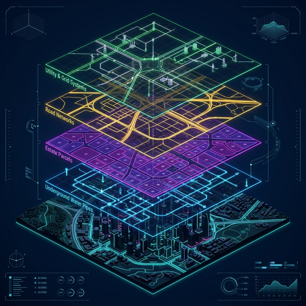
Integrates Town Planning zoning, estate registries, drainage routing, electrical lines, water supply, and Smart City IoT networks directly on 2D/3D maps.

Spatial Assets Spatial & Assets
Finance Ledgers

Finance & Revenue Ledgers

Powers transaction management. Collects Property tax dynamically using spatial boundary maps, assesses trade licenses, and audits municipal stores.

Financial Ledgers Property Tax Ledger
Health & IoT

Health & Environment IoT

Integrates solid waste collection routes using automated GPS trackers, monitors municipal sanitation, and maps air/water indices via IoT monitors.

Operations Route Optimizers
Public Safety

Public Safety & Compliance

Provides GIS-based fire response dispatch. Houses the AI engine for drone change detection, highlighting illegal construction boundaries on municipal maps.

Compliance Core Satellite AI Alerting
Social Welfare

Social Welfare & Public Services

Tracks demographics, voter indexes, and mid-day meal operations. Powers the smart citizen portal for quick registrations and grievance routing.

Citizen Services Citizen Demographics
Engineering Core

Under the Hood: Tech Stack

PostgreSQL + PostGIS

ACID-compliant storage storing tabular data alongside GeoJSON spatial properties.

OpenLayers & Leaflet

Client-side rendering engines for high-performance interactive maps and overlays.

Self-Hosted AI Models

AI engine generating classification patterns for building checks and grievance sorting.

PHP REST APIs

Secure microservices layer enabling quick access points for mobile apps and ward servers.

Strategic Partner

Aakashe Labs Integration

CityOS natively integrates with Aakashe's high-resolution drone imagery and AI-extracted vector data for unparalleled spatial intelligence.

Drone Orthophoto

High-Resolution Base Maps

5cm resolution Orthophotos (ORI) and 10cm Digital Surface Models streamed via Aakashe's REST APIs, offering superior clarity over satellite imagery.

TraceLens AI Vectorization

Automated extraction of building footprints, road networks, and tree canopies. Used directly in CityOS for property tax assessment and green cover compliance.

Automated Change Detection

Drone surveys identify new construction, encroachments, and land use conversion. Instantly flagged in the CityOS Public Safety & Revenue modules.