
Establishing Unified, Data-Driven Governance for Municipal Corporations
Core departments operating independent data stores. Inter-departmental files require manual checks and transport, leading to coordination lags.
Land assets, municipal estates, utility piping, and street lights are managed without centralized spatial linking, rendering property audits difficult.
Building encroachment, unauthorized construction, and tax default areas are reported via reactive physical visits rather than automated tracking.
CityOS consolidates all files, maps, and transactions into a secure, unified ledger database linked to a centralized GIS engine.
Click on a module to view the mapped departments.
RBAC, central file routes, user directories, and ward boundaries.
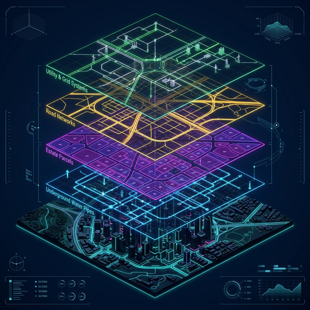
Zoning maps, utility pipelines, estate parcels, and smart IoT grids.

Property tax spatial ledgers, double-entry bookkeeping, and stores.

Click on a module to view the mapped departments.
SWM collection GPS paths, environmental sensors, and healthcare databases.
Drone encroachment tracking, fire routing, and litigation managers.
Demographic indices, transit schedules, and citizen portals.
Automatically maps aerial surveys against building permission records. Highlights discrepancies and unauthorized construction boundaries for quick legal notices.
Binds property tax billing to geographical structures on the map. Enables visual color-coded layers of paid, unpaid, or default status for effective revenue recovery.
Aggregates IoT bin fill levels from city roads and designs optimized collection schedules for garbage trucks, minimizing fuel costs and delays.
Visualizes water flow, valve setups, and storm drainage networks. Facilitates fast leakage mapping and preventative drainage management before monsoon seasons.
CityOS leverages Aakashe's automated photogrammetry pipeline (DataFactory) and AI intelligence layer (TraceLens) to populate our spatial database instantly.
Wingman platform ensures scalable, on-demand data capture across cities.
Cloud-Optimized GeoTIFF and GeoJSON stream directly into CityOS mapping modules.
Central database provisioning, user directories, administrative RBAC configuration, and DMS migration.
Zoning layer setup, Estate boundaries mapping, and spatial Property Tax ledger activation.
Drone mapping ingestion, SWM truck routing AI, and Environmental IoT sensor networks link.
Integrated Command Control Center link, Municipal Citizen App integration, and final citizen launch.